Citizen science in Namibia
4th November 2022
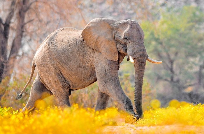
If you ever played I-spy, citizen science is for you. From the arid desert with a few hardy plants and animals, to the rivers in the lush Zambezi Region where over 400 species of birds fly above tall trees, to wetlands, fisheries and elephants – Namibia boasts extraordinary biodiversity. Now you can record some of that biodiversity using your smartphone and thus contribute to Namibian science and conservation.
In Namibia we often take our habitat and ecology for granted, but worldwide, agriculture and urban development is reducing habitat and biodiversity at an alarming rate. The exciting news is that anyone can contribute to our understanding of our environment. As citizens, or as visitors to Namibia, we have an opportunity to join the scientists mapping our flora and fauna, by creating an atlas of the natural world around us. Knowledge is power. The more we know about our habitats and what lives in them, the better we can conserve them, for ourselves and our children.
A popular definition of citizen science is the collection and analysis of data relating to the natural world by members of the general public, typically as part of a collaborative project with professional scientists
. Data sets collected through public participation are a valuable way to learn more about the distribution of species. Previous examples of citizen science projects in Namibia include the Southern African Bird Atlas Project, the Tree Atlas Project, bird ringing, raptor road counts, and the giraffe spotter initiative.
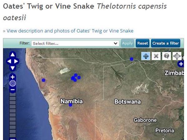
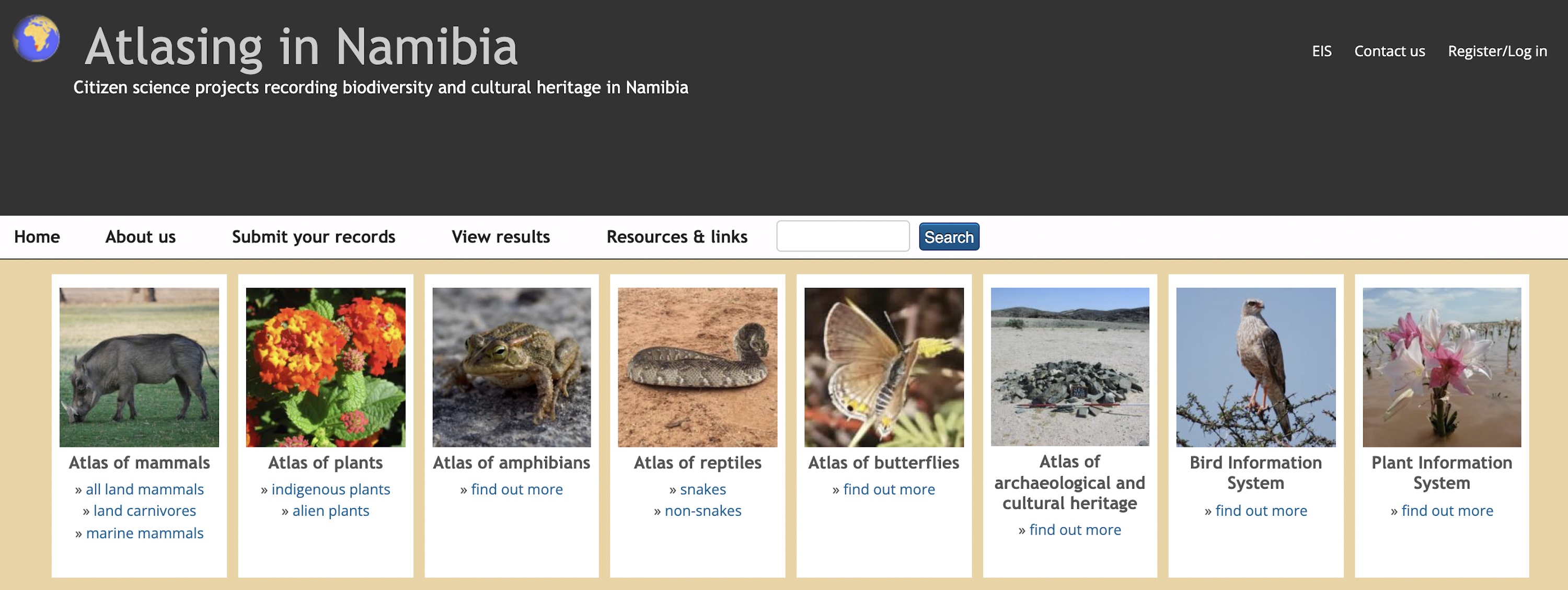
Atlasing in Namibia is the most extensive Namibian citizen science project to date, inviting records of mammals, snakes and other reptiles, frogs and toads, butterflies, breeding birds and plants – both indigenous and alien. You can submit data from live sightings, road kills, photographs, camera traps, telemetry, spoor and any other form of record. There is also a section to record archaeological and cultural heritage sites such as rock art, ancient middens and graves. This platform is part of the larger Namibian Environmental Information Service (EIS) of Namibia, which is a massive repository of information in many formats.
Besides recording new sightings, the atlas provides an important data repository for historical information and data collected for specific purposes, such as research projects. By bringing Namibia's biodiversity data together, we can enhance their value and usefulness. Comparisons become possible across space and time, as well as between and across species. For example, the atlas data were recently used for the new Carnivore Red Data Book and a biological control programme for alien plants.
Who can participate? Everyone! If you have an interest in Namibia’s plants, animals and archaeology or history, you can contribute information on what you see. As more people get involved, the value of the information increases. The easiest way to participate is to download and use the Atlasing in Namibia mobile application. The app allows you to record your sightings while you are out and about. It is easy to use and works on both Android and iOS devices.
You don’t need an active Internet connection to use the app, but you do need to have your device’s GPS switched on. Date, time and location are automatically recorded. Use the Sync
button to submit your records when you are back online. If you can’t identify with certainty what you are seeing, you can still record it and mark the identification as uncertain to alert a specialist to check it for you. There are also photo guides for some species groups on the app and website to help you identify your records. All app records are imported into the EIS website, thus becoming part of our national database.
You can also submit records directly onto the website. It allows you to view, enter and to edit your records and is the method to use if you are entering records from the past or a different location. The website keeps a tally of how many records you have submitted and how many species you have recorded and part of the fun – for many people – is to see how they compare with their friends and colleagues.
The atlas continues to expand, and two new sections have just been launched. One of these allows you to record indigenous plants, of which there are close to 4,000 species in Namibia. The other is the Power line section (available on the app only) to record bird casualties associated with power line infrastructure. For the power line component you can survey the area under a power line on foot, in a vehicle or by bike and record all evidence of bird incidents such as collisions or electrocutions (carcasses, feathers etc.) that you find on the way. Finish the survey by entering the type of power line structure and the distance you covered. Alternatively, if you happen to pass under a power line and find a carcass you can also record this as an incident, without doing a full survey. This information is invaluable for guiding the construction of new power line infrastructure and to identify existing structures that cause high mortalities and could be altered to reduce their impact on birds.
Whether you are an avid naturalist, tour guide, farmer, visitor to Namibia or simply someone who loves to be outdoors, now you can play I-spy and upload what you see, helping science and conservation in Namibia.
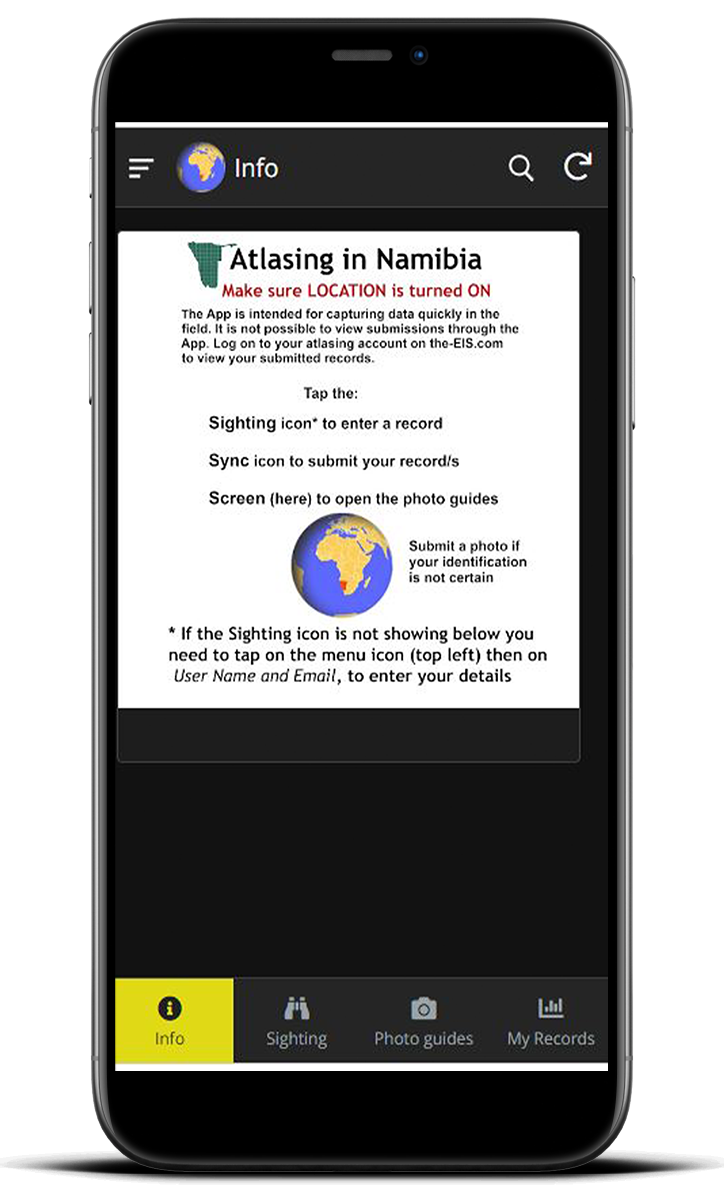
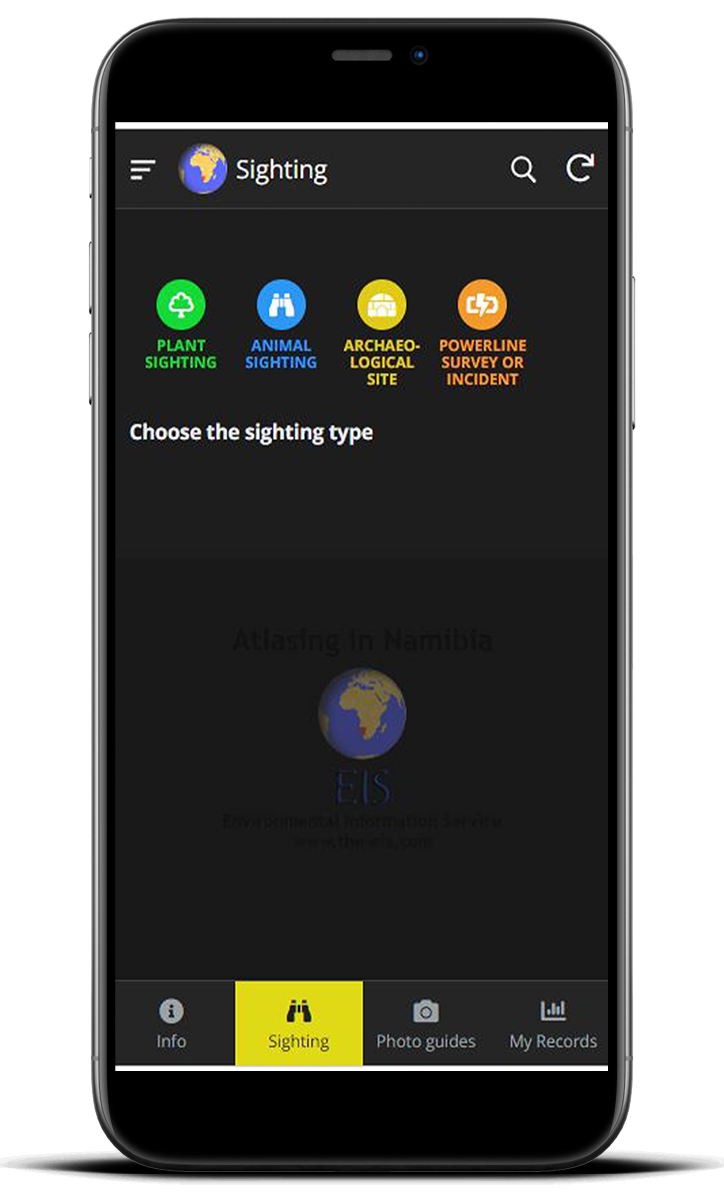
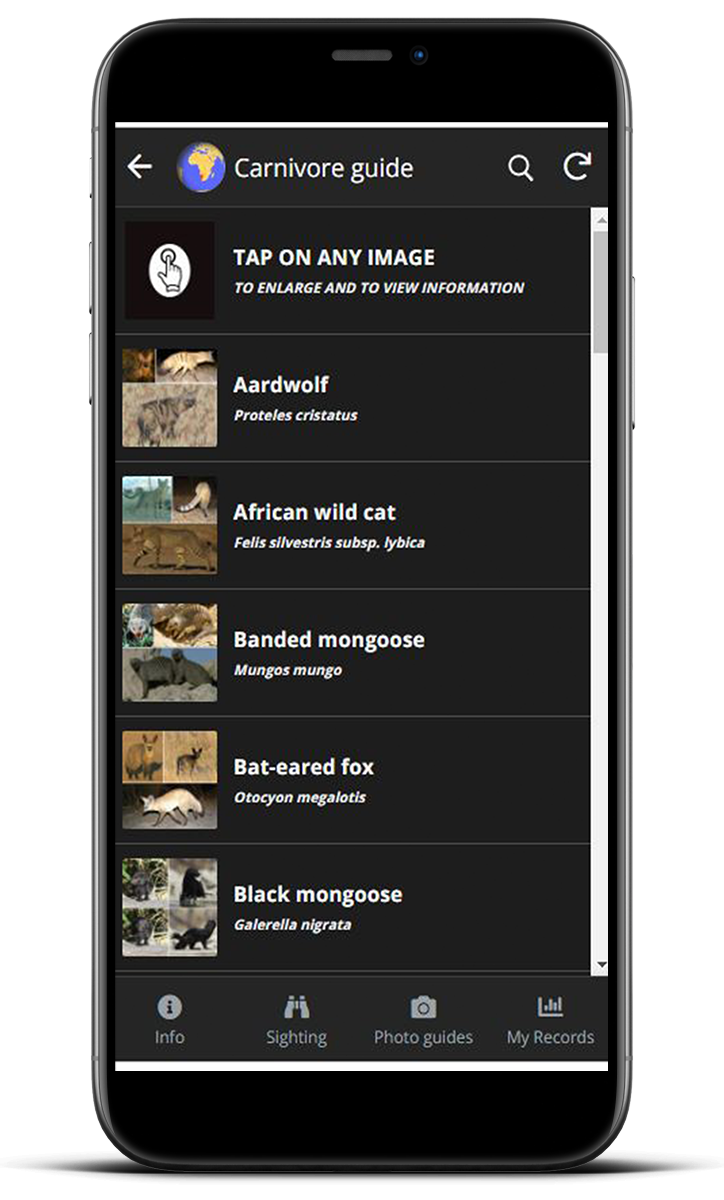
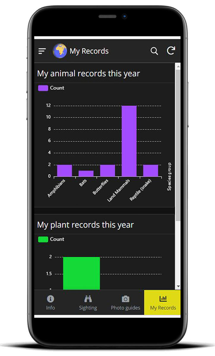
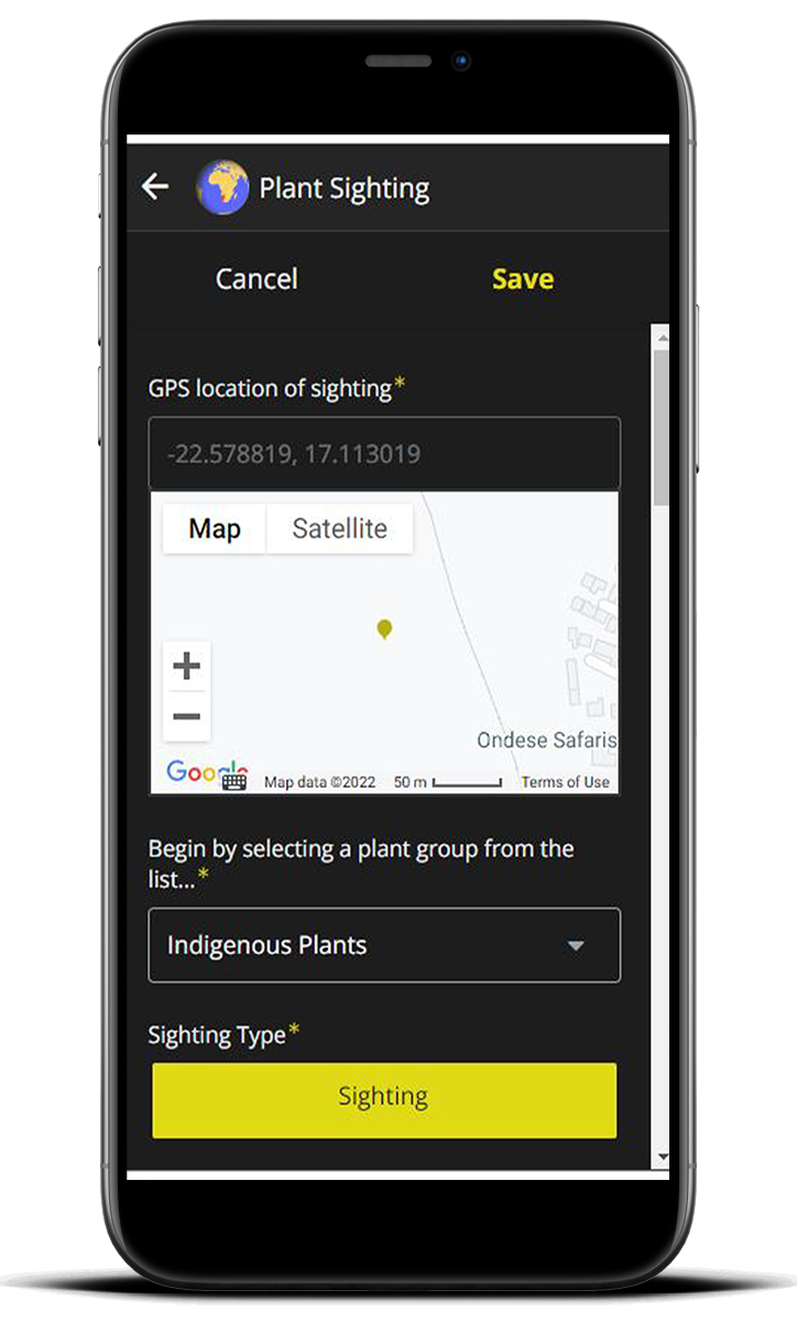
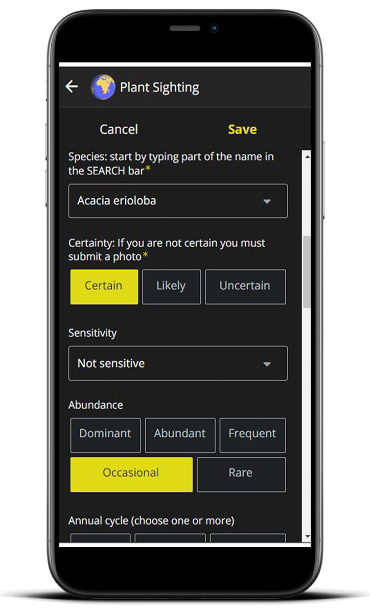
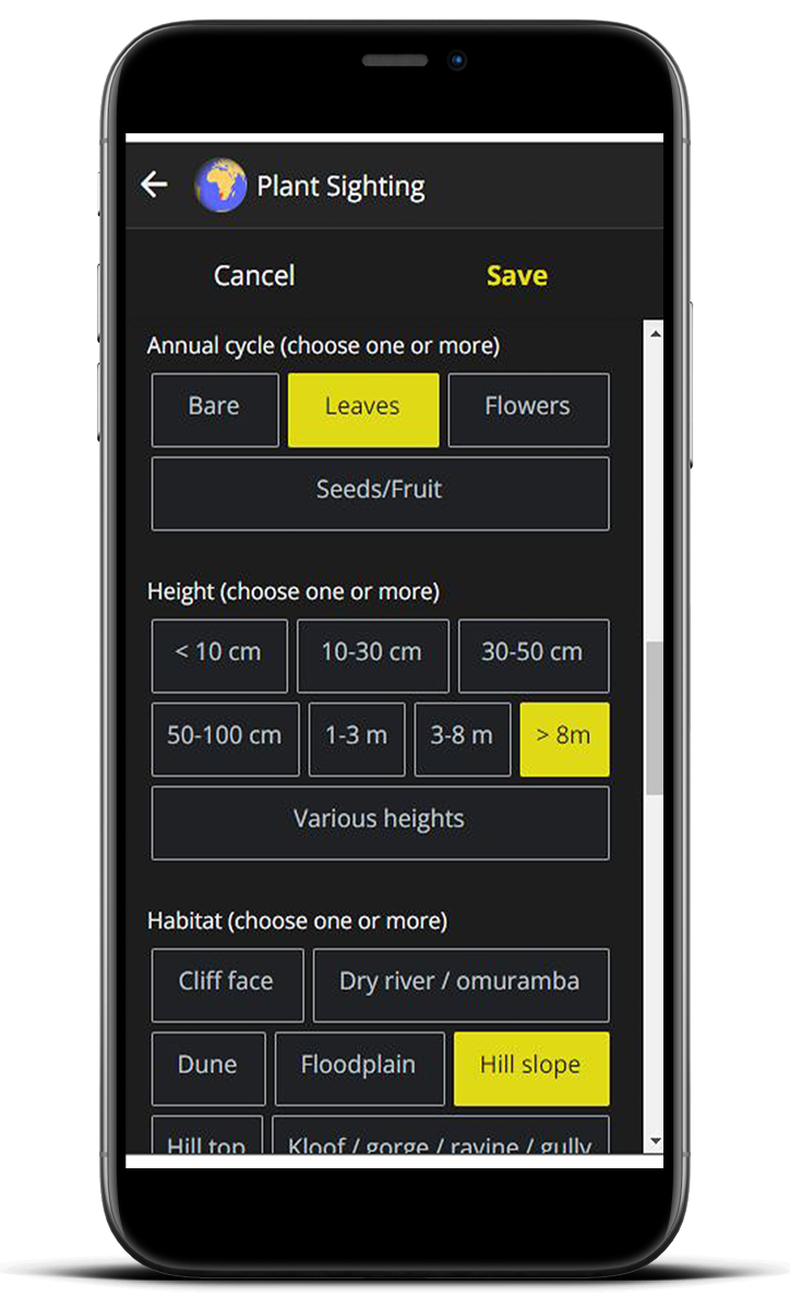
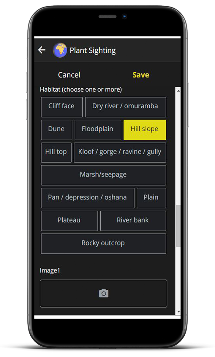
How to download the Atlasing in Namibia app.
Please visit our dowload page to see details on how to install the app on Android or Apple phones: the-eis.com/atlas/?q=atlasing-in-Namibia-app. Find other details and links on the Atlasing in Namibia website: the-eis.com/atlas.
If you enjoyed this page, then you might also like:

For articles on similar topics, please click one of the following options:
For more great articles from Conservation Namibia see below...
Conservation Namibia brought to you by:
We use cookies to monitor site usage and to help improve it. See our Privacy Policy for details. By continuing to use the site, you acknowledge acceptance of our policy.
