Getting to know Namibia with two eye-catching new atlases
10th November 2022
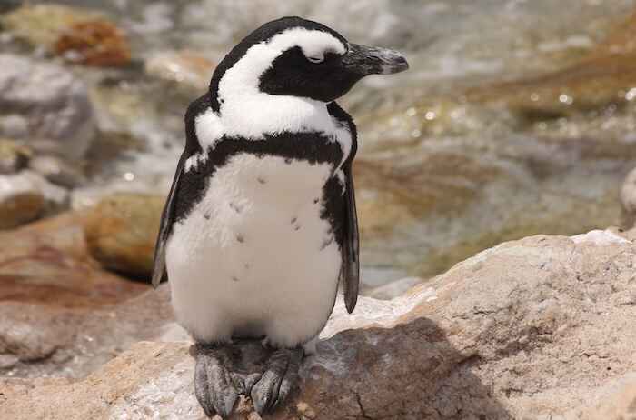
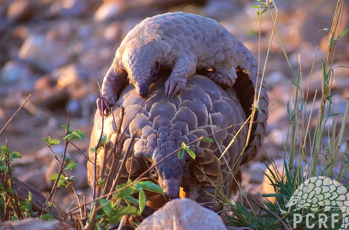
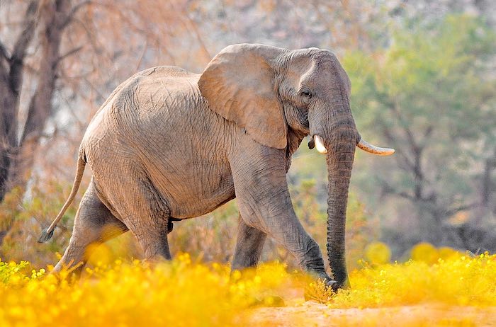
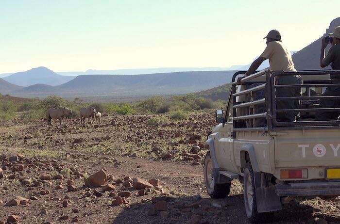
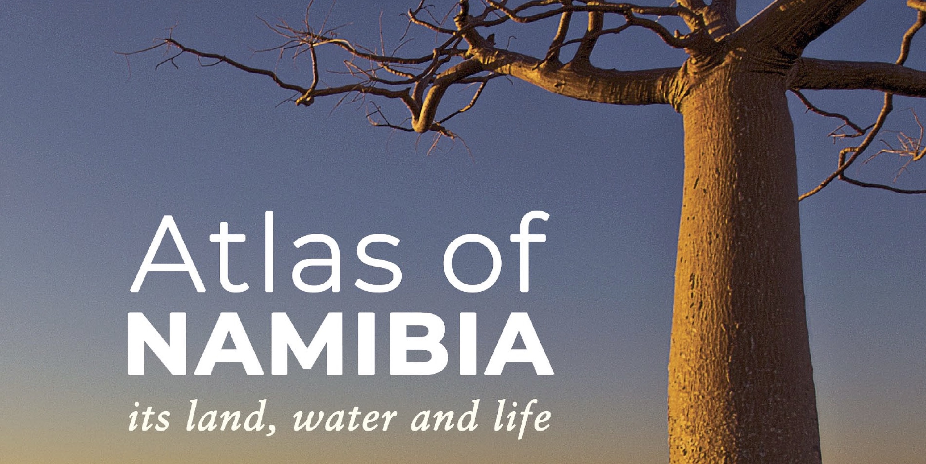
How well do you know Namibia? Did you know that Ongwediva means “where leopards drink” or that Omatako means “buttocks”? Do you know what makes Namibia so dry, or why the coastal waters are so rich in marine life? Do you want to know more about the mountains, waters, diverse landscapes, plants, animals and people of Namibia? Then the 390-page, information-packed, beautifully illustrated Atlas of Namibia: its land, water and life should be at the top of your wish list.
This is the third Atlas of Namibia, following on from the National Atlas of South West Africa (Namibia) published in 1983 and the Atlas of Namibia: A portrait of the land and its people published in 2002. The new atlas builds on previous work and introduces new topics and information generated in the 20 years since the last atlas. With 200 more pages than its predecessor, the new atlas is a major update that will expand the depth and breadth of your knowledge.
The four compiling authors, John and Martin Mendelsohn, Tony Robertson and Alice Jarvis, distilled their own information and the combined knowledge of over 40 contributors into a book that tells a coherent story. This story is enhanced with over 200 maps of Namibia, hundreds of other illustrative graphics and over 450 high quality photographs. Carmen Begley (layout designer) and Carole Roberts (copyeditor) complete the team that produced a visually stunning and highly readable book.
The atlas takes the reader on a journey of Namibia from the ground up. The first few chapters cover landforms and geology, climate, water and soil – physical features that in many ways dictate the patterns of living things found in later chapters: vegetation, wildlife, land use, people and their livelihoods. Each chapter starts by putting Namibia into context within regional and global scales, progressing through to detailed information about particular landforms, ecosystems, species, or human activities and livelihoods in different parts of the country.
The atlas is accessible to a broad audience. It is based on the latest information about each topic it covers. Since the last atlas, a large amount of information has been produced through scientific research and citizen science from within Namibia and beyond. Many of the Namibian sources referenced here are stored online in the Namibian Environmental Information Service, which is freely available to the public.
Researchers, students and scholars will find the ten pages of notes and references near the back of the Atlas to be a good starting point for delving deeper into their area of interest. For the more casual reader, the photographs and descriptions of unusual landforms, natural ecosystems and diverse ways of life arouse wanderlust to experience more of this beautiful country.
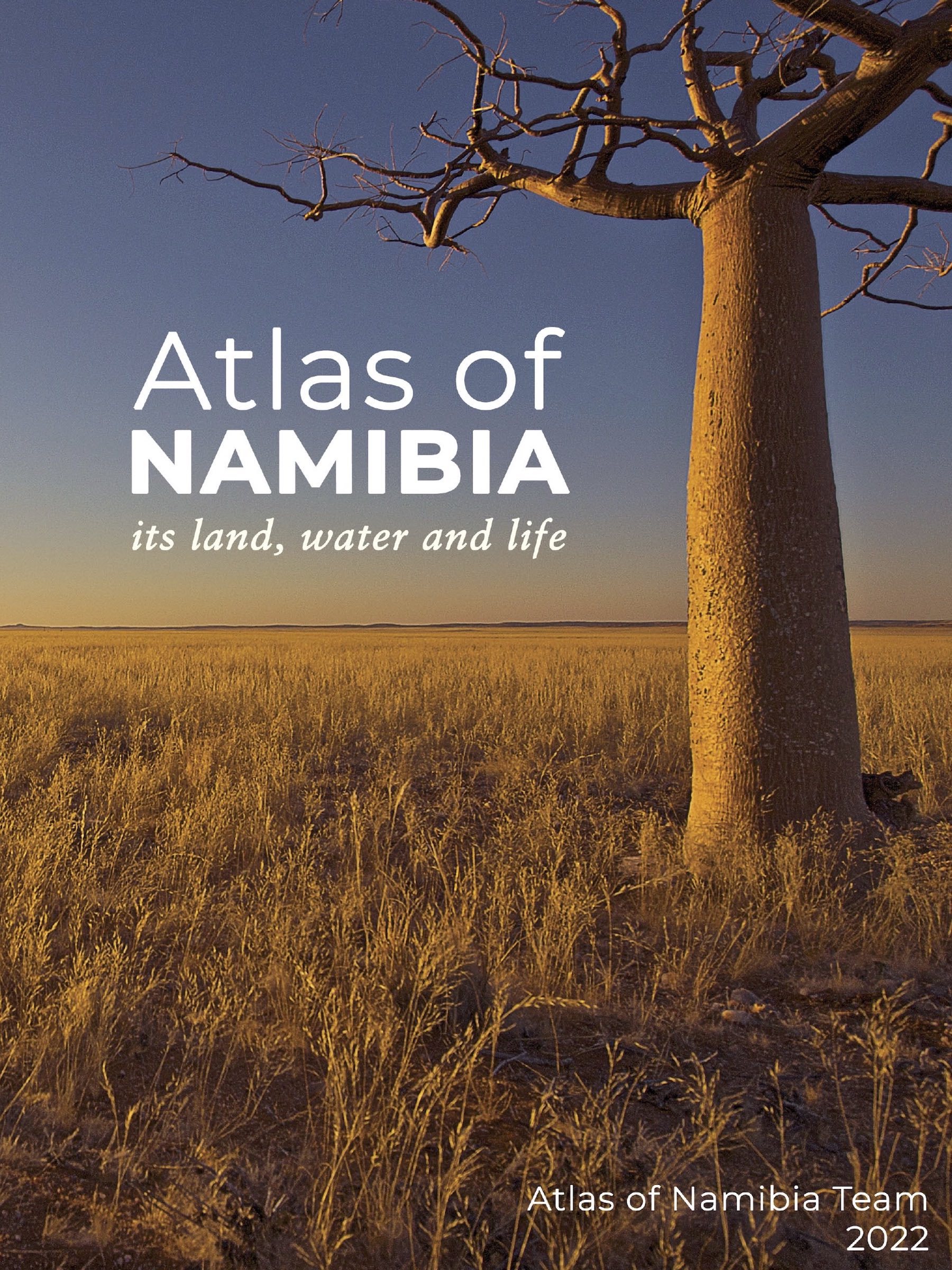
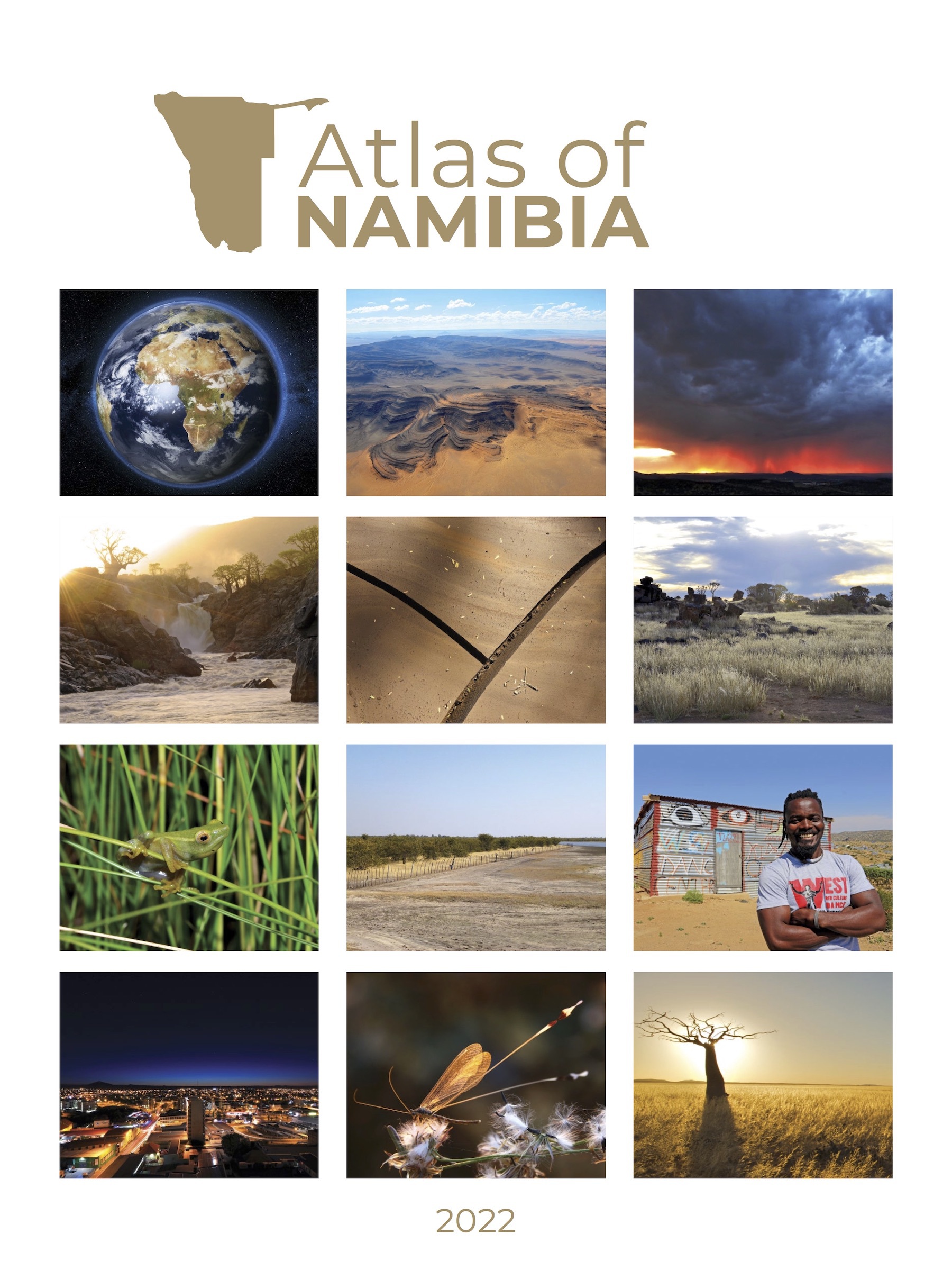
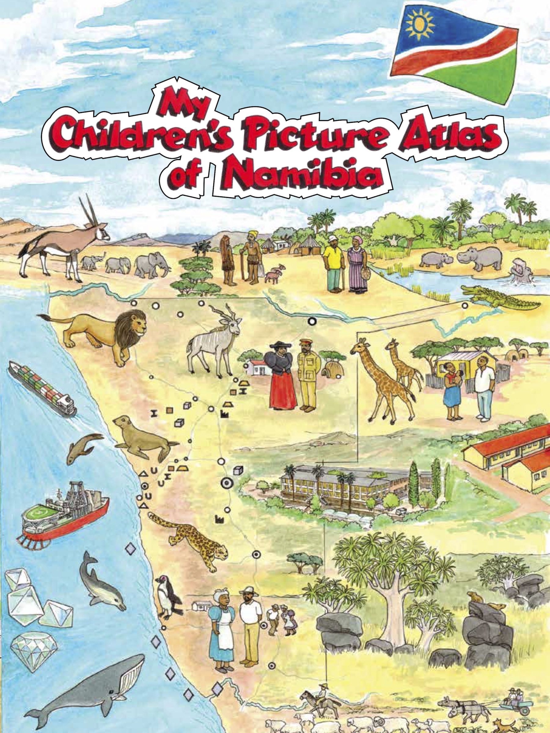
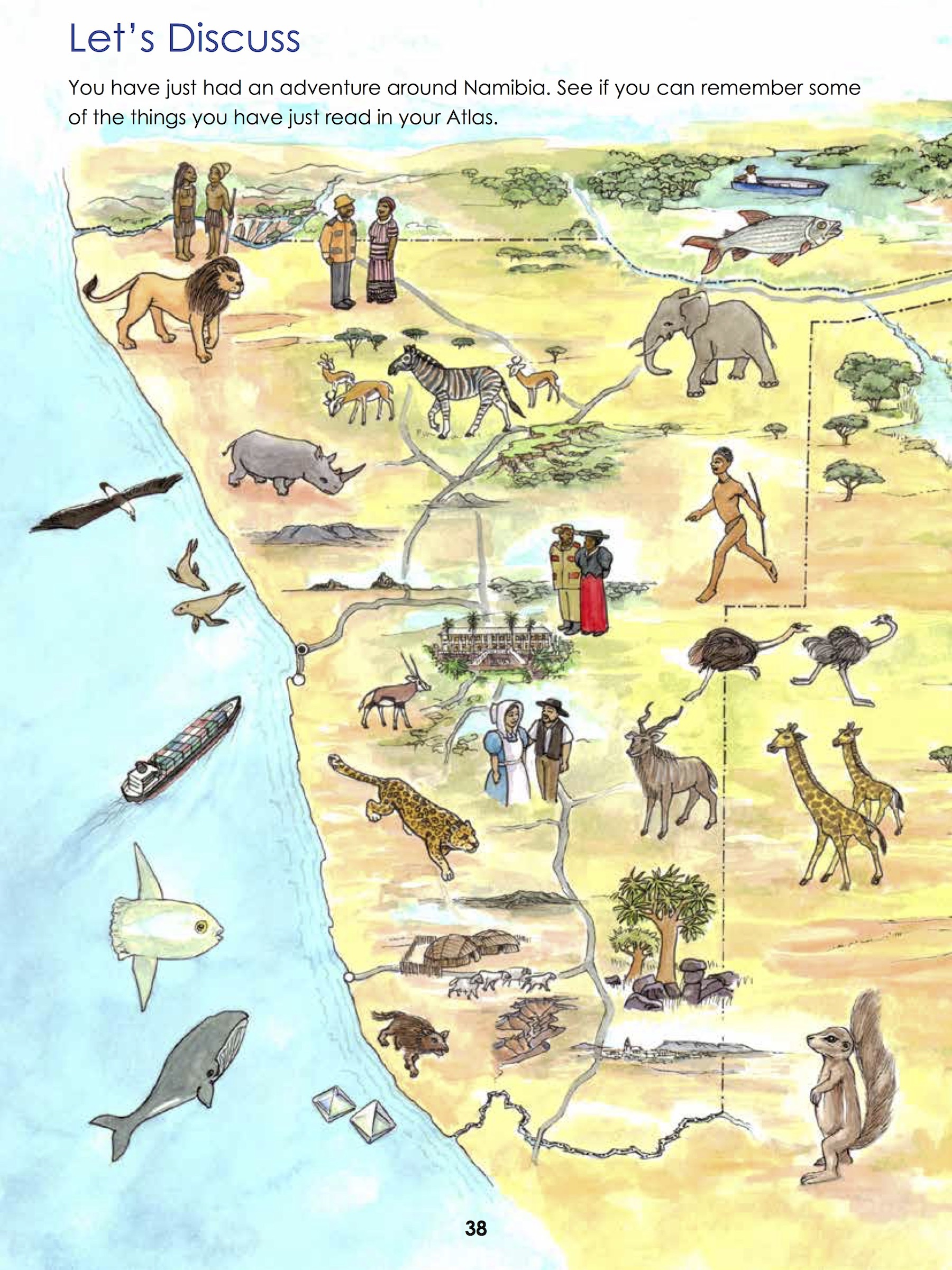
At the same time the very first Namibian atlas for children was produced, based on some of the information in the 2022 Atlas. Titled My Children’s Picture Atlas of Namibia, this 40-page atlas by Hilma Weber, Clare Galloway and John Mendelsohn is a visual guide to Namibia that can be used in the classroom or at home.
Hand drawn maps and detailed illustrations by Allan Kennedy show political regions, constituencies and towns, along with Namibia’s diverse population groups, animals, geography and natural resources. Namibian children are introduced to neighbouring countries, the concept of tourism and the country’s location on the globe. A set of questions is provided at the end of the book to help initiate discussion between children and their teachers or parents.
Both atlases are highly attractive publications that spark interest in all aspects of Namibian geography. Together, they run the gamut from answering simple questions that a child could ask through to providing information that a researcher would find useful. The teams of people who worked on each publication have produced attractive and informative books to be enjoyed by Namibians and visitors, young and old.
Atlas of Namibia: its land, water and life was published by the Namibia Nature Foundation (NNF). NNF and Ongava Research Centre co-managed the project, which was funded by the German Development Agency, GIZ. The 2022 Atlas is now available at bookshops across Namibia. The entire atlas is freely available online at https://atlasofnamibia.online, while a PDF version and many of the sources referenced can be found at http://the-eis.com/elibrary.
The second edition of My Children’s Picture Atlas of Namibia was published by the Development Workshop Namibia (DWN) and will be available as a hardcopy in Namibian bookshops. As part of its Early Childhood Development project, DWN is donating hundreds of these books to schools in informal settlements across Namibia. The first edition (28 pages), produced by DWN with funding from the Namibian telecoms company MTC, the European Union and the United Nations Children’s Fund (UNICEF), can be downloaded for free at https://dw-namibia.org/publications.php.
If you enjoyed this page, then you might also like:


For articles on similar topics, please click one of the following options:
For more great articles from Conservation Namibia see below...
Conservation Namibia brought to you by:
We use cookies to monitor site usage and to help improve it. See our Privacy Policy for details. By continuing to use the site, you acknowledge acceptance of our policy.
