Want to do fieldwork in the 21st century?
Pack your high-tech equipment to generate big data!
By Jörg Melzheimer and Dr. Bettina Wachter
Leibniz Institute for Zoo and Wildlife Research (IZW), Berlin, Germany
9th August 2019
Satellite tracking technology is used in everything from smartphones to smart watches – gadgets that can tell you where you are, how fast you are moving and even what kind of activities you are busy with throughout the day. They collect this surprising amount of data from built-in miniature sensors. These devices are getting more powerful but nevertheless smaller, lighter and easier to use every year. This rapidly advancing technology is now available for ecologists who want to know more about the behaviour and movements of the wild animals they study.
Using technology similar to smartphones and smart watches, ecologists can now almost continuously monitor their study animals’ geographic location, behaviour, activity and body temperature. At the same time the device collects information about the area the animal is moving in, including air temperature, atmospheric pressure and water salinity. This not only provides insights into ecology but also into the weather, climate, atmosphere, natural catastrophes (e.g. earthquakes and tsunamis) and outbreaks of diseases, all of which may change animal behaviour. This new technology with its myriad of different applications has heralded the start of a golden age for “bio-logging” – a term scientists have coined for logging large amounts of biological data.
Ecologists choose the smallest possible bio-logging devices (or bio-loggers) to ensure that their study animals are not hampered in any way by carrying them. The heaviest part is the battery that powers various sensors, the GPS unit and the data uplink device. These components are becoming more efficient with every bio-logger generation; at the same time battery technology is progressing to deliver smaller batteries that produce more power. Consequently, battery size and the subsequent weight of the devices can be reduced, whilst also increasing the device’s lifespan and data collecting capacity.
GPS tracking collars today gather more than ten times the amount of data than similar-sized collars that were developed only 10 years ago. This means we can study smaller animals than before, and collect more data to answer a huge variety of new research questions that we could not have dreamed of answering previously.
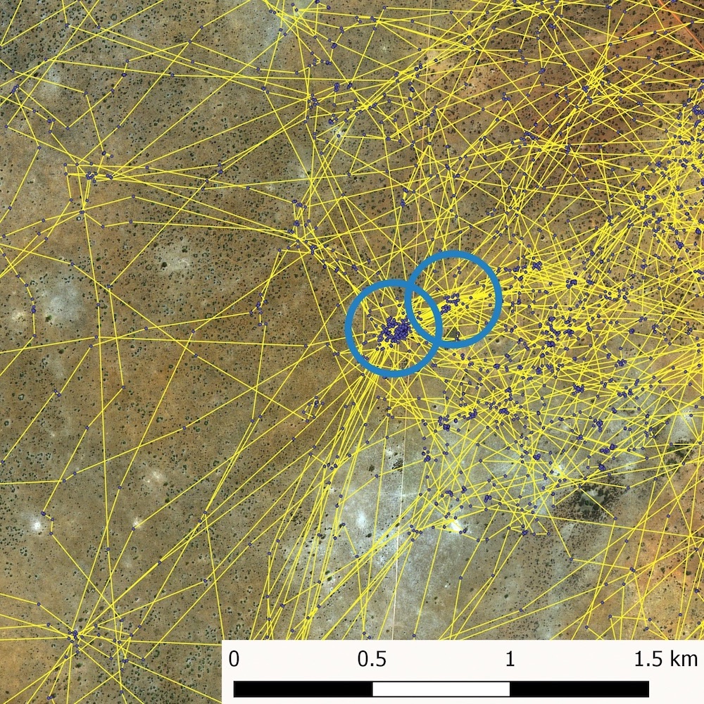
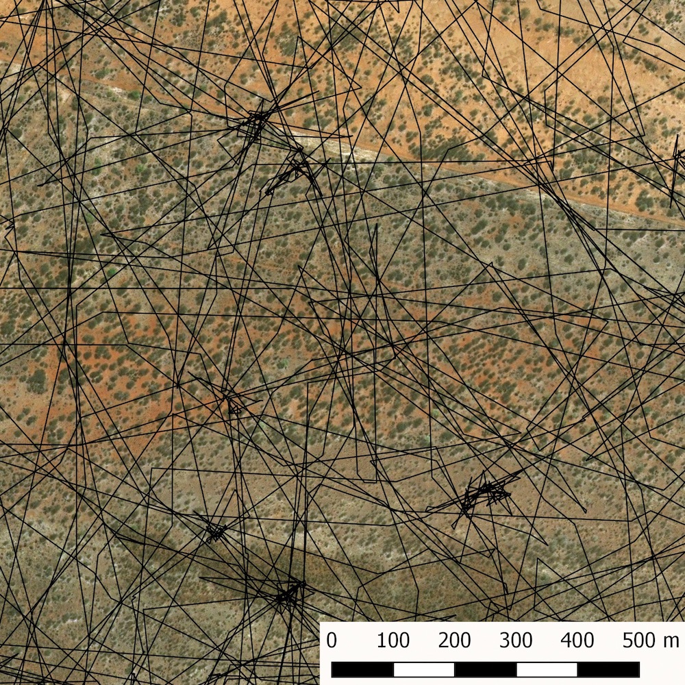
The Leibniz Institute for Zoo and Wildlife Research (IZW) in Berlin, Germany, uses satellite telemetry on a variety of species in Namibia including cheetah, leopard, kudu and gemsbok. Our Cheetah Research Project is now 18 years old, making it our longest running study in Namibia. Studying cheetahs is especially important due to their precarious conservation status.
Historically, cheetahs were widely distributed throughout Africa and Asia. During the last few decades their distribution has been reduced to only 9% of their previous range, and scientists estimate that only 7,100 cheetahs are left in the wild. Namibia and Botswana are the global strongholds for this species: Namibia hosts approximately 1,500 adult and juvenile cheetahs, which are part of a larger population of around 3,000 occurring across both countries. Nearly 77% of the current cheetah range lies outside of protected areas, where cheetahs potentially come into conflict with farmers. This conflict is therefore one of the most important issues to address in order to conserve cheetahs.
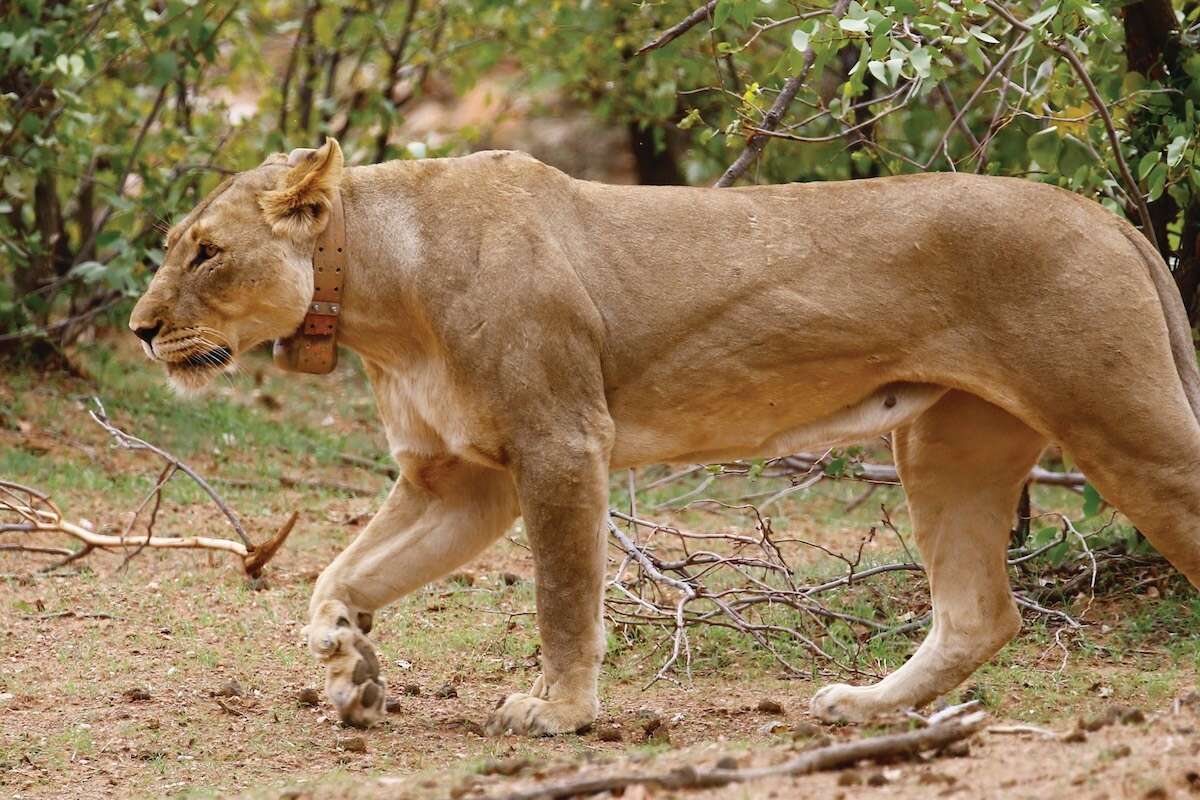
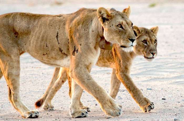
One of the most promising approaches to solve human-wildlife conflicts is by analysing the population dynamics and movement ecology of the study species to develop solutions based on scientific findings. Leibniz-IZW takes this evidence-based conservation approach – we have fitted almost 200 cheetahs in Namibia with GPS collars (see header image), thereby generating more than 4 million GPS locations. In addition the new technology in our GPS collars produced 43 million data points that tell us more about what the cheetahs do at the places they visit.
We address a wide portfolio of research questions with these data such as i) determine space requirements and habitat use, ii) detect interactions among cheetahs and between cheetahs and other carnivores, e.g. leopards, iii) detect lairs with cubs to determine cub survival and reproductive success of females, iv) compare movements of territorial with non-territorial males, v) monitor marking behaviour of males and females, vi) investigate feeding ecology, vii) identify day-night and seasonal rhythms, viii) monitor human-wildlife conflicts, ix) fine-tune study design of density surveys using camera traps and x) increase success in capturing individuals for collecting biological samples.
